
Planning a First Trip to San Diego County Quail Country: The Closure Map Comes First
San Diego County holds California quail on hundreds of thousands of acres of public land, and stacks four layers of closures and restrictions on top of it. A planning guide that starts with the legal map, not the birds.

California Chukar Hunting: Planning a First Season on Alectoris chukar
The pillar planning guide to California chukar — the Eastern Sierra, the Modoc Plateau, and the Mojave ranges; water as the limiting resource, escape cover, the narrow elevation band that holds birds in October, and the boots and lungs the east side asks for. Refreshed each year.

California Public Land Designations: Where Upland Hunting Is Legal, Restricted, or Closed
The map app shows you green. Green is not a designation. What BLM, national forest, national monument, state wildlife area, refuge, and state park each actually mean for a shotgun — and the two-minute check that settles it before you drive.

The Hill You Don't Climb: Off-Road Driving Skills for California Hunting Access
Two one-day classes at Hollister Hills changed how we get to birds — and, more often, how we decide not to. Trail spotting, hill aborts, left-foot braking, and treating the rig like it has to bring you home.
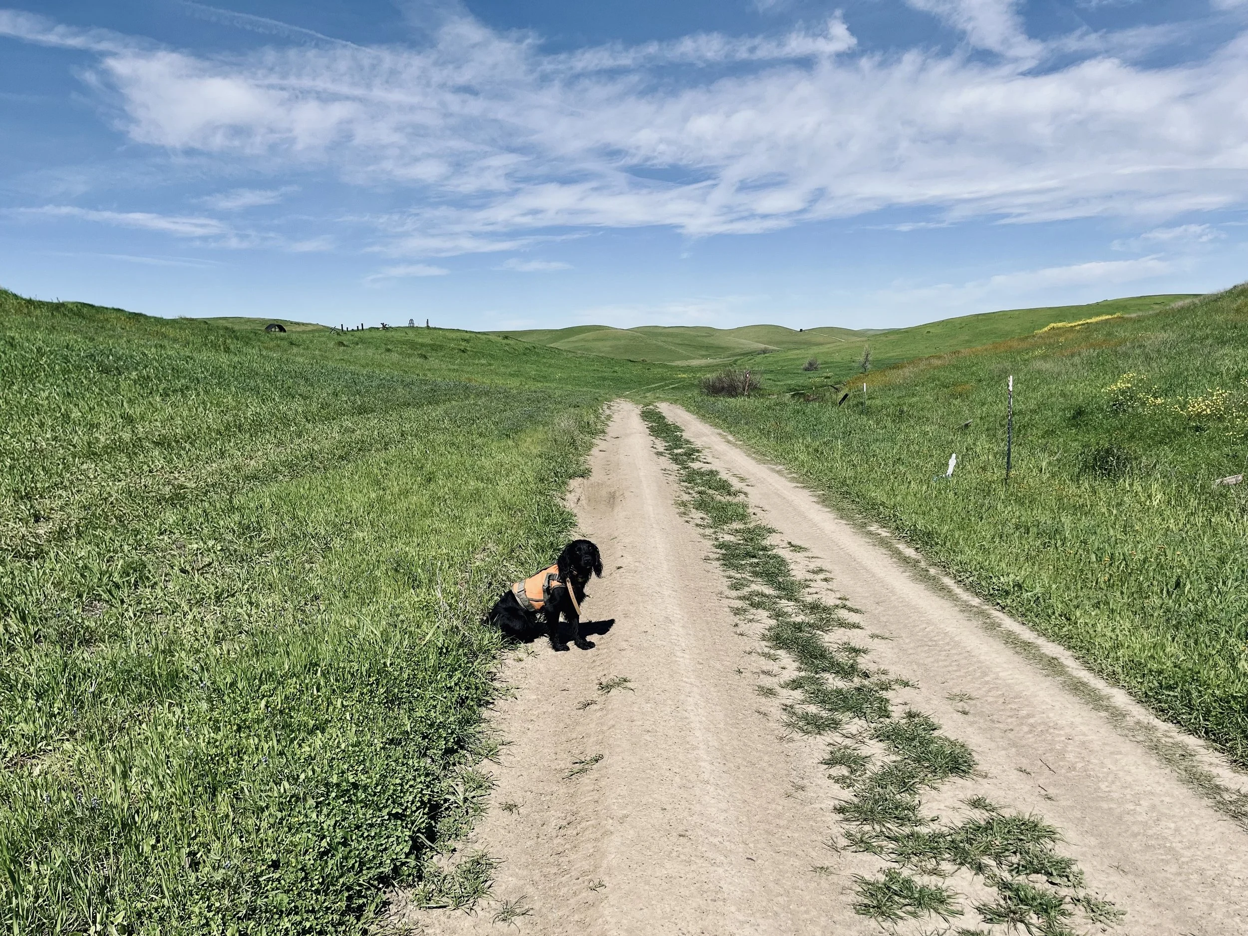


Planning a Modoc Plateau Chukar Hunt: A NorCal Scouting Guide
Modoc Plateau chukar planning for NorCal upland hunters — public land, water sources, basalt rim country, and how to scout the spring before the October opener.

Mapping Chukar Water in the Off-Season: A NorCal Hunter's Approach
Mapping chukar water in California's off-season — a NorCal hunter's approach to springs, seeps, and guzzlers across the eastern Sierra and Modoc Plateau.

The Presidio Quail Reintroduction: A NorCal Conservation Win Worth Watching
The Presidio quail reintroduction begins in 2026 — what California upland hunters and NorCal habitat advocates should take from this Bay Area conservation effort.