
California Public Land Designations: Where Upland Hunting Is Legal, Restricted, or Closed
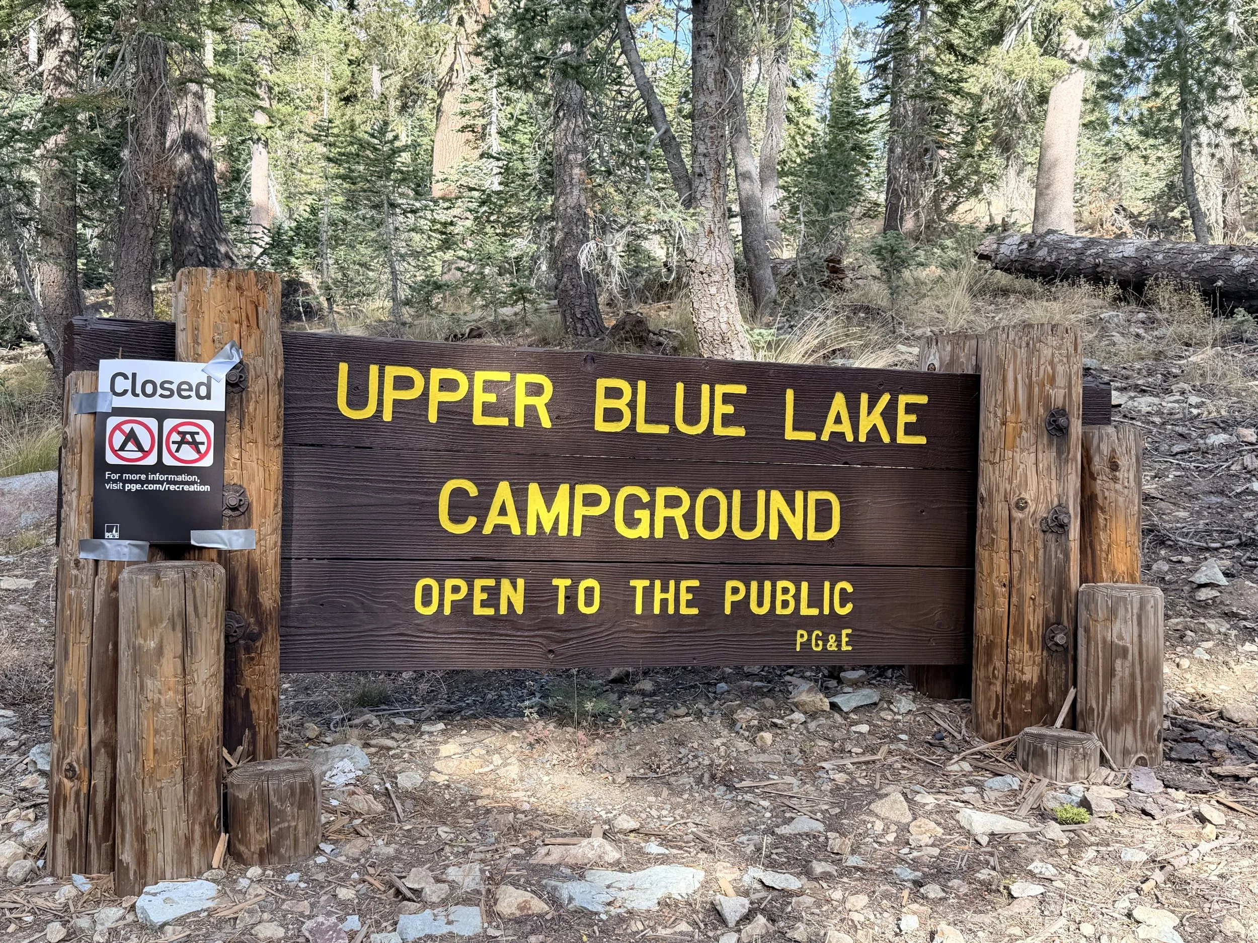
California is roughly half public land, and a hunter can look at a mapping app, see an unbroken sweep of green across a county, and reasonably conclude that the access problem in this state is solved.
It is not solved. It is disguised. That green is at least eight different legal designations wearing one color, and they range from open to any licensed hunter with a shotgun to criminal to discharge a firearm here with no visual difference on the map and, often enough, no sign at the boundary. The single most useful thing a California upland hunter can learn before an opener is not a new covert. It is how to look at a piece of green and know, in about two minutes, which of those two it is.
This is the guide to California public land designations we wish someone had handed us. It is organized by designation, because that is how the rules are organized, and each section ends where the authority actually lives — the managing agency's own page. We are not going to print a rule here that an agency can change mid-season.
What The Green On Your Map Actually Is
Start with the thing that causes most of the trouble: the color on a mapping app is a land-ownership layer, not a hunting-access layer. Mapping apps — onX, Gaia, and the rest — are showing you who owns or administers a parcel. Whether you may hunt it — and with what, and when, and how you may get there — is a separate question answered by a different authority, sometimes several.
Three questions settle almost every case:
Which agency administers this? BLM, USFS, CDFW, USFWS, State Parks, a county, a water district, the military.
Does that agency open this specific unit to hunting? Not the agency in general — this unit.
What sits on top of that? A forest order, a refuge-specific hunt plan, a wildlife-area type classification, a seasonal closure, a fire closure, a discharge ordinance.
Question three is the one that catches experienced hunters, because the answer to questions one and two can be yes, obviously while a forest order posted six weeks ago closes the drainage you were headed for.
BLM Land: The Default Yes
Bureau of Land Management ground is the closest thing California upland hunting has to a default-open designation. On most BLM land, hunting is permitted under state regulations — you need your license and validations and you follow CDFW seasons and limits, and there is no additional BLM permission to obtain.
It is also where a great deal of the state's chukar and desert quail country sits: the Owens Valley and the eastern Sierra front, the Modoc plateau margins, the Mojave and Colorado desert edges, and large blocks of the inner Coast Range. Our chukar planning and Modoc plateau files are both largely BLM stories.
Two qualifications. BLM ownership in California is heavily checkerboarded with private sections in some districts, which means a legal-to-hunt parcel can be surrounded by parcels that are not, and corner-crossing is not a settled question you want to test on a Saturday. And individual field offices issue their own closures and restrictions. Check the BLM California field office page for the district you are entering.
National Forest: Open, With A Vehicle Problem
National forest land is likewise generally open to hunting under state regulations, and it covers a fifth of the state — the Sierra crest and both slopes, the Trinities and Klamaths, the Los Padres, the Cleveland, the San Bernardino.
The complication on forest land is rarely whether you may hunt. It is how you may get there. Every national forest publishes a Motor Vehicle Use Map, and that map — not the road's existence, not its condition, not whether other trucks are on it — governs which routes are legal for a highway vehicle and which are closed. An unmarked dirt road in good condition may be closed to vehicles; a rough two-track may be open. The MVUM is free, it is authoritative, and it is the document that decides how far you walk.
Layered on top: forest orders, which close areas or restrict activity temporarily and are the mechanism behind most fire closures. In an average California autumn, some fraction of the forest you planned to hunt is under an order. They are posted on each forest's website, and they change. Check the USFS Pacific Southwest Region page for the forest, in the week you intend to go.
Designated Wilderness inside a national forest remains open to hunting — wilderness designation restricts mechanized access, not legal take. No vehicles, no bicycles, no game carts. Your legs and, if you have one, a dog.
National Monuments: It Depends Entirely On The Proclamation
This is the designation that produces the most confident wrong answers, in both directions.
A national monument is not a category with a single hunting rule. Each monument is created by a proclamation or statute that specifies what is permitted, and it continues to be administered by whichever agency held the land — often BLM or USFS. Many California monuments remain open to hunting under state regulations precisely because the proclamation says so. Berryessa Snow Mountain and Carrizo Plain are both hunted. Others carry restrictions, and a monument administered by the National Park Service is a different proposition entirely.
The rule of thumb we use: a monument on BLM or Forest Service ground is probably open and worth checking; a monument administered by NPS is probably not. Neither probability is good enough to drive on. Find the monument's own management page and read what the proclamation actually allows.
State Wildlife Areas: Open, And The Most Rule-Dense Ground In California
CDFW wildlife areas are the backbone of Central Valley public dove and pheasant hunting — the Sacramento Valley complexes, the Yolo Bypass, the delta units — and they are unambiguously for hunters. They are also, by a wide margin, the most rule-dense ground you will set foot on.
Wildlife areas are sorted into type classifications, and the type decides how you get on. Type A areas, and the Type B areas in the Northeastern Zone, require a prepaid hunting pass and an entry permit on hunt days during waterfowl season, which runs straight through the pheasant opener, and the busiest Type A days fill by reservation drawing. Many other areas need nothing beyond your license and validations. None of that is the same as CDFW's lands pass: a list of wildlife areas and ecological reserves charges one to visitors 16 and older, and a valid California hunting license exempts you from it. Beyond that, individual areas set their own shooting hours, their own check-in and check-out procedure, their own dog rules, and in some cases their own limits — any of which may be more restrictive than the statewide regulation.
The dog rules are the ones people miss, because nothing in the season-and-limits tables prepares you for them. A wildlife area can restrict where a dog may be off lead, close specific units to dogs on certain days, and set its own terms for running or training a dog outside a hunt. Refuges do the same, unit by unit. If you are driving four hours with a dog in the back, the sentence to find on the area sheet is the one about dogs, and the time to find it is before you leave — not at the check station with the tailgate down.
We are deliberately not printing which areas are which type, or which need a pass. Those assignments move, and a piece that names them ages into a liability inside one season. The CDFW Lands pages carry the current classification, the current pass and reservation requirements, and the area-specific regulation sheet for each unit. Read the sheet for the specific area, in the week you are going. The area sheet is the authority, and it outranks anything general you have read — including this.
Adjacent to all of this is the SHARE program, which opens enrolled private land to public hunting through a CDFW application process. It is useful ground and it is not visible as public land on any ownership map, which is exactly why it goes unhunted.
National Wildlife Refuges: Only Where Specifically Opened
Refuges are federal land administered by the US Fish and Wildlife Service, and the default here inverts. A refuge is closed to hunting unless it has been specifically opened, and the opening is done unit by unit, species by species, with a hunt plan that spells out which portions are huntable, on which days, for what.
In practice a few California refuges matter to upland hunters. Units of the Sacramento NWR Complex open pheasant on their shoot days, and the Sacramento River refuge adds quail and dove. Others are open to hunting and closed to every upland bird: Sonny Bono Salton Sea, in the southeast, is a popular public hunt for ducks, white geese, coots, and moorhens, and nothing else. So "the refuge is open" is never the right sentence. The right sentence names a unit and a species and a day. Refuge hunt information sits on each refuge's page under the National Wildlife Refuge System, and the refuge-specific brochure is the document that governs.
The Designations That Simply Close
Worth knowing cold, because they are the ones that turn a mistake into a citation:
California state parks — hunting is prohibited across the state park system, except in a short list of state recreation areas named in the regulations (Picacho, Auburn, and Lake Oroville among them), each with its own seasons. State park land shows as green on every map and is not available to you, and this catches people on the coast and in the Sierra foothills constantly. It catches people in the desert on a larger scale than anywhere else in the state: Anza-Borrego Desert State Park is the biggest state park California has, it sits in the middle of Gambel's quail country, and there is open BLM ground along parts of its edge. Same landscape, same birds, two designations, and only one of them legal to load in.
National parks — closed to hunting. The word is parks: the Park Service runs other kinds of units, and Mojave National Preserve is one of them. It is hunted under state regulations, and CDFW's own quail table carries a junior-license early season there. Check the unit, not the agency.
State and local nature preserves, ecological reserves, and most regional and county parks — generally closed, though a handful of ecological reserves have specific hunt provisions. Read the individual reserve's page rather than assuming either way.
Local firearm-discharge ordinances — a county or city can prohibit discharge in areas that are otherwise legal to hunt, and these are invisible on federal and state layers alike. This is the most commonly missed rule near towns and on the urban fringe of the Central Valley.
The Two-Minute Check
Reduced to something worth doing before every trip to unfamiliar ground. Steps one and two are the two minutes — they tell you what you are standing on and whether you may hunt it at all. The rest are what keeps a legal hunt legal, and they run faster every time you repeat them on the same ground:
One. Identify the administering agency for the specific parcel, from the ownership layer.
Two. Open that agency's page for that unit — not the agency's homepage, the unit's page. Confirm hunting is permitted there and note anything unit-specific: passes, reservations, shooting hours, dog restrictions.
Three. Check for current closures. Forest orders on USFS ground, field-office notices on BLM, the area sheet on a CDFW wildlife area, the brochure on a refuge.
Four. For vehicle access on forest ground, pull the current MVUM and confirm the road you intend to drive is actually open to your vehicle.
Five. Check the county for a discharge ordinance if you are anywhere near a town.
Six. Get all of it onto the phone as files before you leave. Everything above lives on a web page, and the ground it describes has no bars. Save the area sheet, the refuge brochure, and the MVUM as downloads rather than open tabs, and screenshot the closure notice with its date showing. The version that matters at four in the morning at a gate you were not expecting is the one already on the device.
About ten minutes the first time you work up a new piece of ground, about two every time after, and on most of it the answer holds for the season. The alternative is what happens to somebody in this state every opening weekend: a good field, correctly scouted, on ground where the shotgun should have stayed in the case.
And when the page does not answer the question — which happens, because agency pages are written for a general public and not for someone standing at a gate with a shotgun — call the office. Field offices, refuge headquarters, and wildlife-area managers answer the phone, the number sits on the same page you were just reading, and nobody on the other end thinks less of you for asking. There is no rule anywhere that says you have to work this out from a website alone. Asking is the cheap way to find out.
What This Does And Does Not Settle
This piece is a map of the designations, and it is honest about its limits. Our own lived experience is Central Valley and Sacramento Valley wildlife areas and the BLM and forest ground we hunt for quail and chukar; the refuge and monument sections are researched rather than walked, and the specific-unit answers all live with the agencies rather than here.
What it should do is change the question you ask. Not "is this public?" — which the map already answered, and answered misleadingly — but "which designation is this, and what does that designation require of me?" That question has a findable answer every time, and finding it takes less time than the drive.
Once the access question is settled, the rest of the pre-opener work has somewhere to land: what the season dates and limits actually are, and how far to drive a road before you walk it.
Related reading:
External: CDFW Lands · BLM California · USFS Pacific Southwest Region · National Wildlife Refuge System
Get the weekly digest. One email each Sunday with the week's pieces, plus the California Upland Season Dates & Limits Cheatsheet PDF as a free download for new subscribers. Subscribe →
Matt Gehrmann grew up hunting the Central Valley for pheasant, quail, and dove, and is based in the Bay Area. Read more → · Subscribe to the weekly digest →